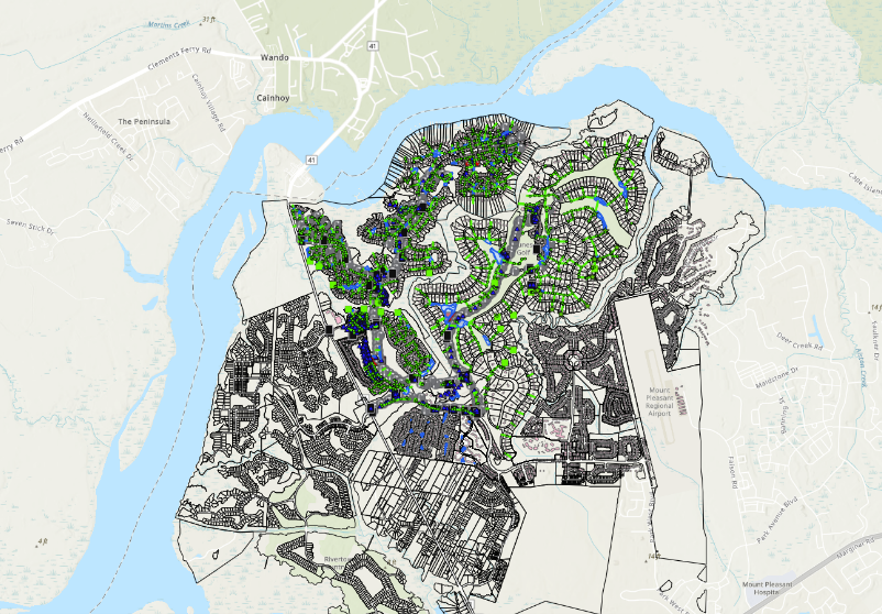
Dunes West Stormwater System GIS Inventory
Dunes West POA, Mount Pleasant, South Carolina
From Data to Decisions: 4Waters Enhances Dunes West Stormwater Planning with GIS
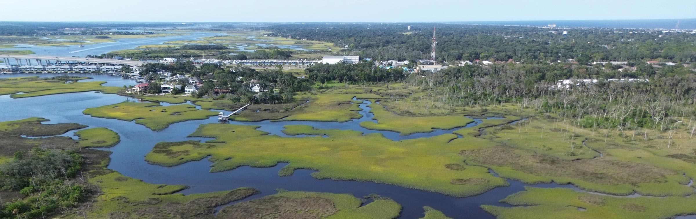
Dunes West Stormwater System
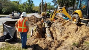
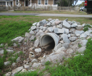
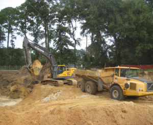
4Waters surveyed and inventoried over 1,500 stormwater structures, mapping and documenting them in a GIS database. The database includes images, feature details, and condition data, enabling the POA to identify maintenance needs and prioritize improvements. With this tool, the POA can quickly access and analyze stormwater system information to plan projects more effectively.
4Waters is working with the Dunes West Property Owners Association to convert the existing web-based GIS database system to ArcGIS Online.