NPDES Engineering & Permit Administration MS4 GIS Inventory Database Update
Jacksonville, FL
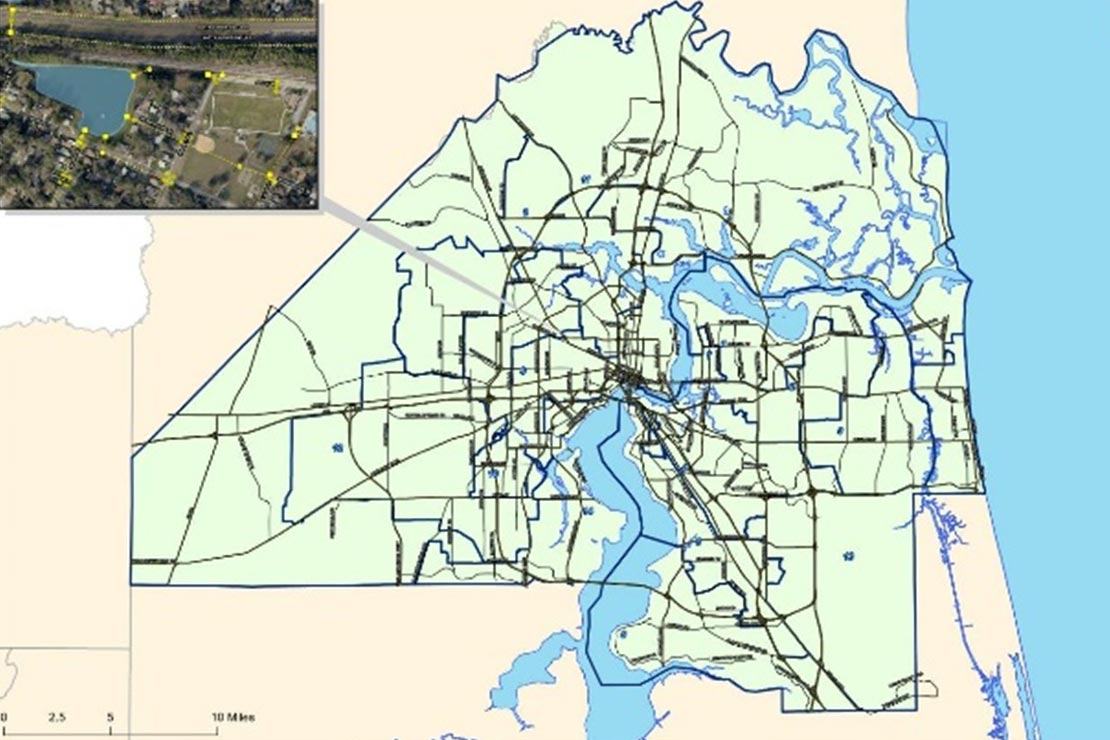
4Waters Helps Map Jacksonville’s 200,000+ Stormwater Assets
NPDES Engineering & Permit Administration
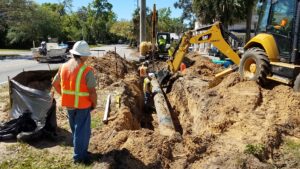
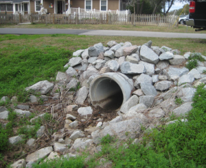
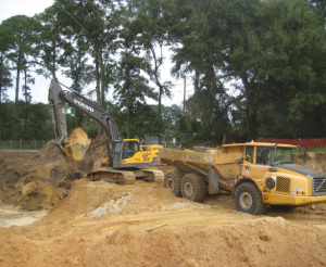
Work includes incorporating data from as-built drawings including location and attributes (such as type, elevations, dimensions, material, owner, and year constructed) for MS4 structures (including manholes, inlet and control structures, and open and closed conveyances).
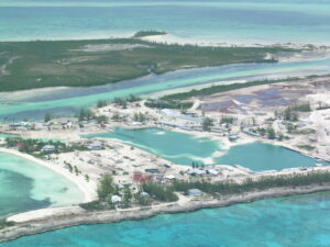
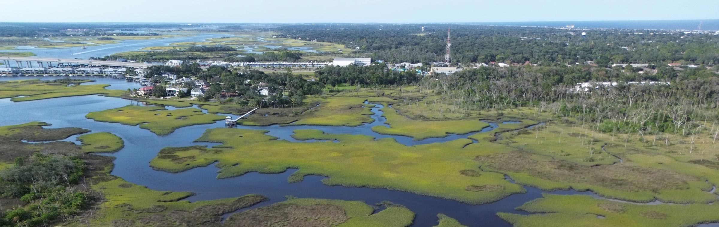
The City of Jacksonville is the largest city in the contiguous U.S. The inventory includes over 200,000 MS4 infrastructure components that represent over 1,200 miles of open conveyance, over 1,700 miles of closed conveyance, over 70,000 inlets and control structures in over 500 stormwater treatment ponds across a 750-square mile MS4 service area.