Geographic Information Systems (GIS)
Geographic Information Systems (GIS) Services
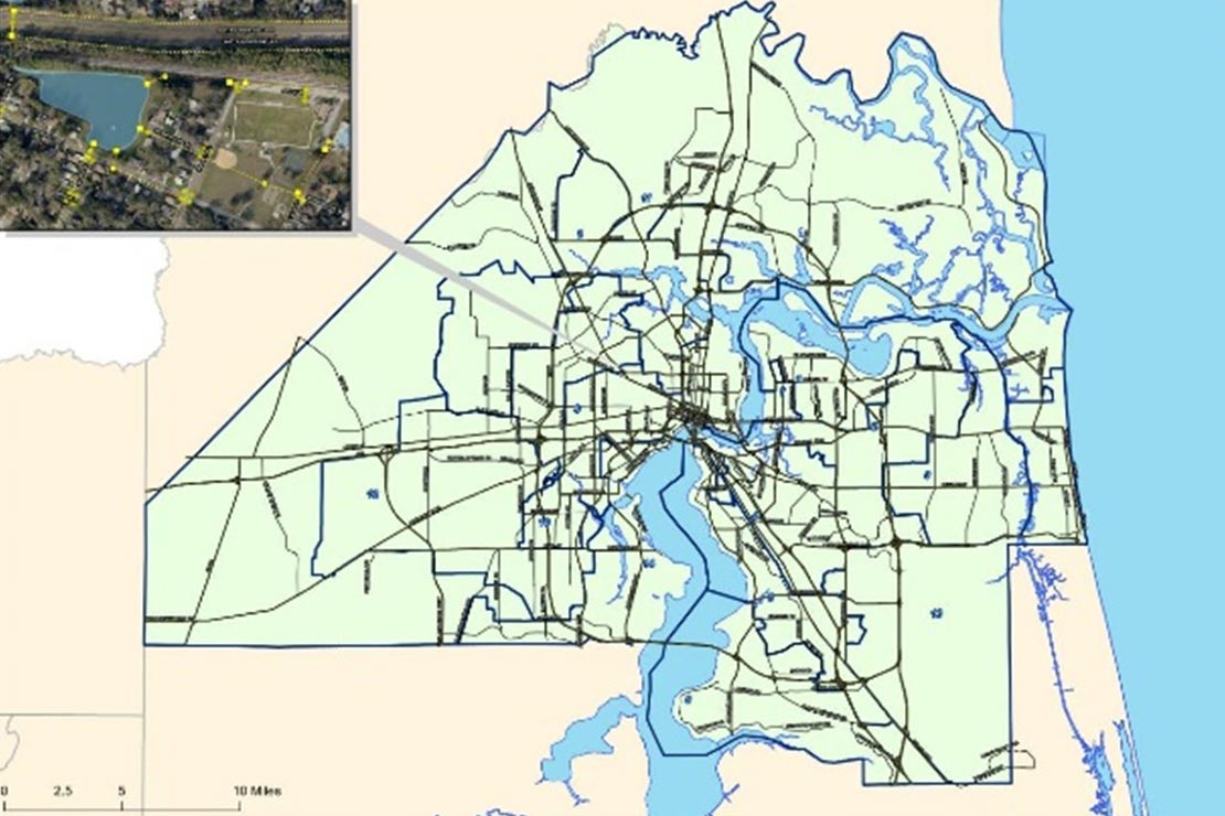
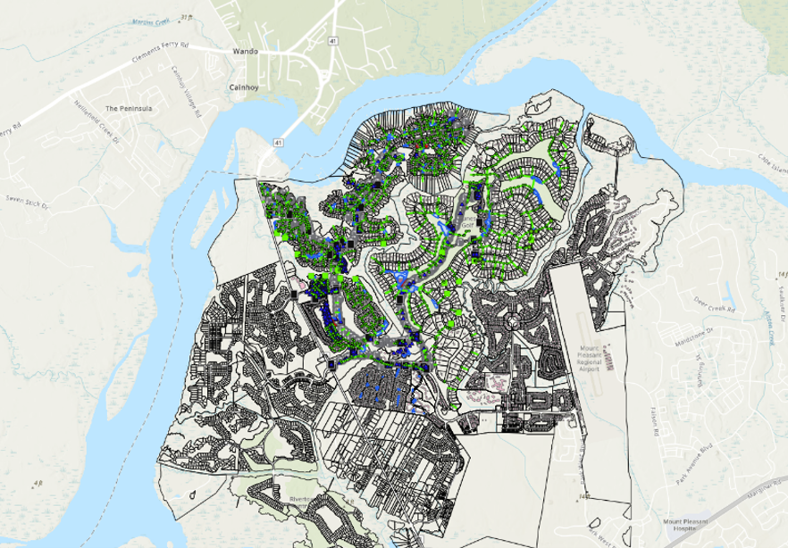
All natural and constructed features, such as rivers, roads, buildings, storm drains, sewer manholes, and water towers, can be identified by spatial data, or data that can be mapped.
Our Comprehensive GIS Services
GIS lets us visualize, analyze, and interpret this spatial data to understand relationships, patterns, and trends to improve efficiency of a system.
At 4Waters, we can integrate the technology of GIS to help develop solutions to nearly every type of engineering project. We can develop custom GIS applications, system design, training, and support to help organizations preserve, manage, and use vast collections of spatial information and data.

Geodatabase Development and Customization
Asset Inventory and Data Management
Planning and Analysis
Hydraulic Model Development and Support
Population and Master Planning Studies
GIS Implementation and Training